- Page 1
- Page 2
- Page 3
- Page 4
- Page 5
- Page 6
- Page 7
- Page 8
- Page 9
- Page 10
- Page 11
- Page 12
- Page 13
- Page 14
- Page 15
- Page 16
- Page 17
- Page 18
- Page 19
- Page 20
- Page 21
- Page 22
- Page 23
- Page 24
- Page 25
- Page 26
- Page 27
- Page 28
- Page 29
- Page 30
- Page 31
- Page 32
- Page 33
- Page 34
- Page 35
- Page 36
- Page 37
- Page 38
- Page 39
- Page 40
- Page 41
- Page 42
- Page 43
- Page 44
- Page 45
- Page 46
- Page 47
- Page 48
- Page 49
- Page 50
- Page 51
- Page 52
- Page 53
- Page 54
- Page 55
- Page 56
- Page 57
- Page 58
- Page 59
- Page 60
- Page 61
- Page 62
- Page 63
- Page 64
- Page 65
- Page 66
- Page 67
- Page 68
- Page 69
- Page 70
- Page 71
- Page 72
- Page 73
- Page 74
- Page 75
- Page 76
- Page 77
- Page 78
- Page 79
- Page 80
- Page 81
- Page 82
- Page 83
- Page 84
- Page 85
- Page 86
- Page 87
- Page 88
- Page 89
- Page 90
- Page 91
- Page 92
- Page 93
- Page 94
- Page 95
- Page 96
- Page 97
- Page 98
- Page 99
- Page 100
- Page 101
- Page 102
- Page 103
- Page 104
- Page 105
- Page 106
- Page 107
- Page 108
- Page 109
- Page 110
- Page 111
- Page 112
- Page 113
- Page 114
- Page 115
- Page 116
- Page 117
- Page 118
- Page 119
- Page 120
- Page 121
- Page 122
- Page 123
- Page 124
- Page 125
- Page 126
- Page 127
- Page 128
- Page 129
- Page 130
- Page 131
- Page 132
- Page 133
- Page 134
- Page 135
- Page 136
- Page 137
- Page 138
- Page 139
- Page 140
- Page 141
- Page 142
- Page 143
- Page 144
- Page 145
- Page 146
- Page 147
- Page 148
- Page 149
- Page 150
- Page 151
- Page 152
- Page 153
- Page 154
- Page 155
- Page 156
- Page 157
- Page 158
- Page 159
- Page 160
- Page 161
- Page 162
- Page 163
- Page 164
- Page 165
- Page 166
- Page 167
- Page 168
- Page 169
- Page 170
- Page 171
- Page 172
- Page 173
- Page 174
- Page 175
- Page 176
- Page 177
- Page 178
- Page 179
- Page 180
- Page 181
- Page 182
- Page 183
- Page 184
- Page 185
- Page 186
- Page 187
- Page 188
- Page 189
- Page 190
- Page 191
- Page 192
- Page 193
- Page 194
- Flash version
© UniFlip.com
Chapter
2
The Land
Sand dunes, cacti, gila monsters, and snakes are what many people expect in Arizona. But our state has many different landforms, plants, and animals. Arizona is like three states in one, with three completely different regions. Arizona is the sixth largest state in the United States. It is 392 miles long and 338 miles wide. It covers 113,956 square miles. Arizona’s latitude is 31° (degrees) 20´ (minutes) north to 37° (degrees) north. Arizona’s longitude is 109° (degrees) 3´ (minutes) west to 114° (degrees) 49´ (minutes) west. Arizona’s average land elevation is 4,000 feet above sea level. Over 90 percent of rain and snow that falls on Arizona’s land drains into the Colorado River. Latitude is the distance measured by degrees north and south of the earth’s equator. Longitude is the distance measured by degrees east and west of the prime meridian. Elevation is the height of the land above sea level.
Standards’ Vocabulary
latitude longitude elevation desert Sonoran Desert Mogollon Rim Colorado Plateau plateau lifezone
Is all of Arizona’s land the same?
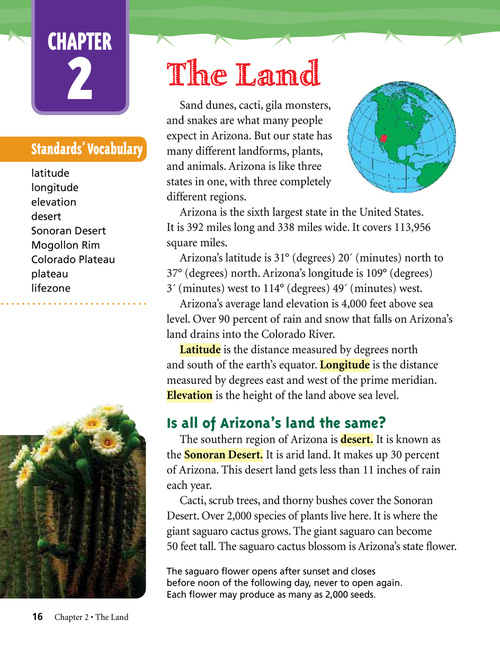
The southern region of Arizona is desert. It is known as the Sonoran Desert. It is arid land. It makes up 30 percent of Arizona. This desert land gets less than 11 inches of rain each year. Cacti, scrub trees, and thorny bushes cover the Sonoran Desert. Over 2,000 species of plants live here. It is where the giant saguaro cactus grows. The giant saguaro can become 50 feet tall. The saguaro cactus blossom is Arizona’s state flower.
The saguaro flower opens after sunset and closes before noon of the following day, never to open again. Each flower may produce as many as 2,000 seeds.
16 Chapter 2 • The Land